Statewide conditions
As the state's lead agency for water supplies, we pay close attention to multiple data sources and monitor them closely. Here you can find:
- Current climate conditions & previous month's data
- Expert knowledge, chaired by Dept. of Ecology
- Predicted forecasts (based on accumluated data)
- Data round-up of latest information from multiple agencies!
What is WSAC?
The Water Supply Availability Committee (WSAC) is a group of experts from state and federal agencies who evaluate statewide water supply conditions. Ecology chairs this group that provides an important consultative role to Ecology. WSAC advises Ecology on current and forecasted water supply conditions and whether the hydrologic drought threshold has been met or is likely to be met: seventy-five percent of normal water supply within a geographic area (RCW 43.83B.405 and WAC 173-166-050).
If you would like to receive notices about WSAC meetings after they are posted to this page, subscribe to the Washington Water Supply Email list.
The Office of the Washington State Climatologist (OWSC) serves as one credible and expert source of climate and weather information for the state. Their monthly newsletter reviews the previous month’s data and details, as well as an introduction to the Natural Resources Conservation Service’s Snow and Water Interactive Map (iMAP), climate summary and outlook, and a link to reporting your observed drought impacts. Check out our Water Supply Monitoring page for additional sources.
Current climate conditions, according to the OWSC:
Our winter is still dryer than normal. February, averaged statewide, was 2.6oF above normal and had 63% of normal precipitation. It wasn’t all bad news related to water supply. Snowpack accumulation, while still lagging, improved throughout the month. February accumulation only 50% of normal in the Olympics, ranging up to 89% of normal in the Lower Snake-Walla Walla, with the statewide average at around 70% of normal.
Climate Outlook, OWSC forecast:
El Niño currently, La Niña likely by summer
According to the Climate Prediction Center (CPC), El Niño is currently present in the tropical equatorial Pacific Ocean and an “El Niño Advisory” is still in effect. El Niño is still likely to transition to neutral conditions during the April-May-June period (79% chance), although effect should still be felt this spring. In addition, the CPC issued a “La Niña Watch” on February 8, owing to model predictions now showing a higher likelihood of La Niña (55% chance) compared to neutral (42% chance) by June-July-August. This serves as a switch from previous ENSO model runs, which showed neutral conditions more likely through the summer.
What does this mean for the coming months?
The CPC one month temperature outlook for March indicates higher chances of above normal temperatures statewide. The March precipitation outlook indicates higher chances of below normal precipitation statewide. The probabilities range from 33 to 50% on the three-tiered scale, depending on location.
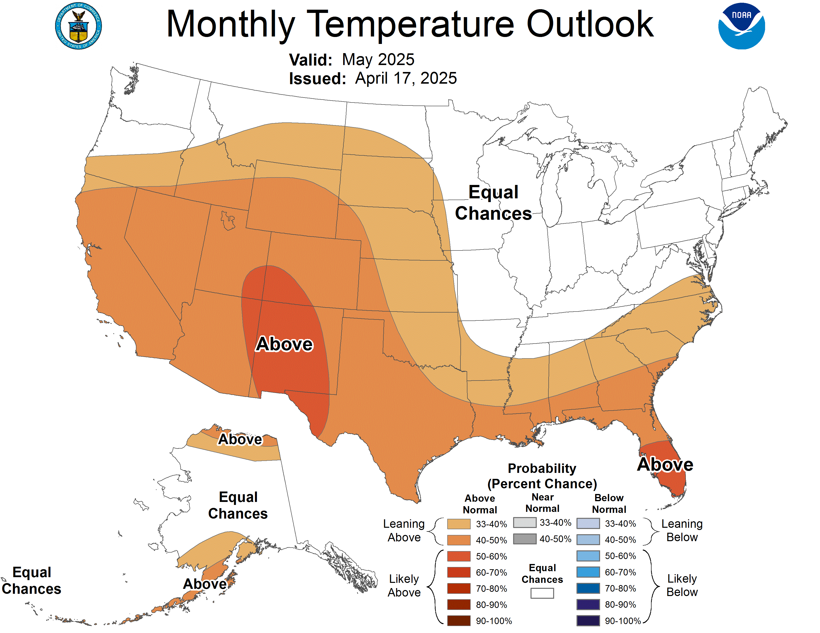
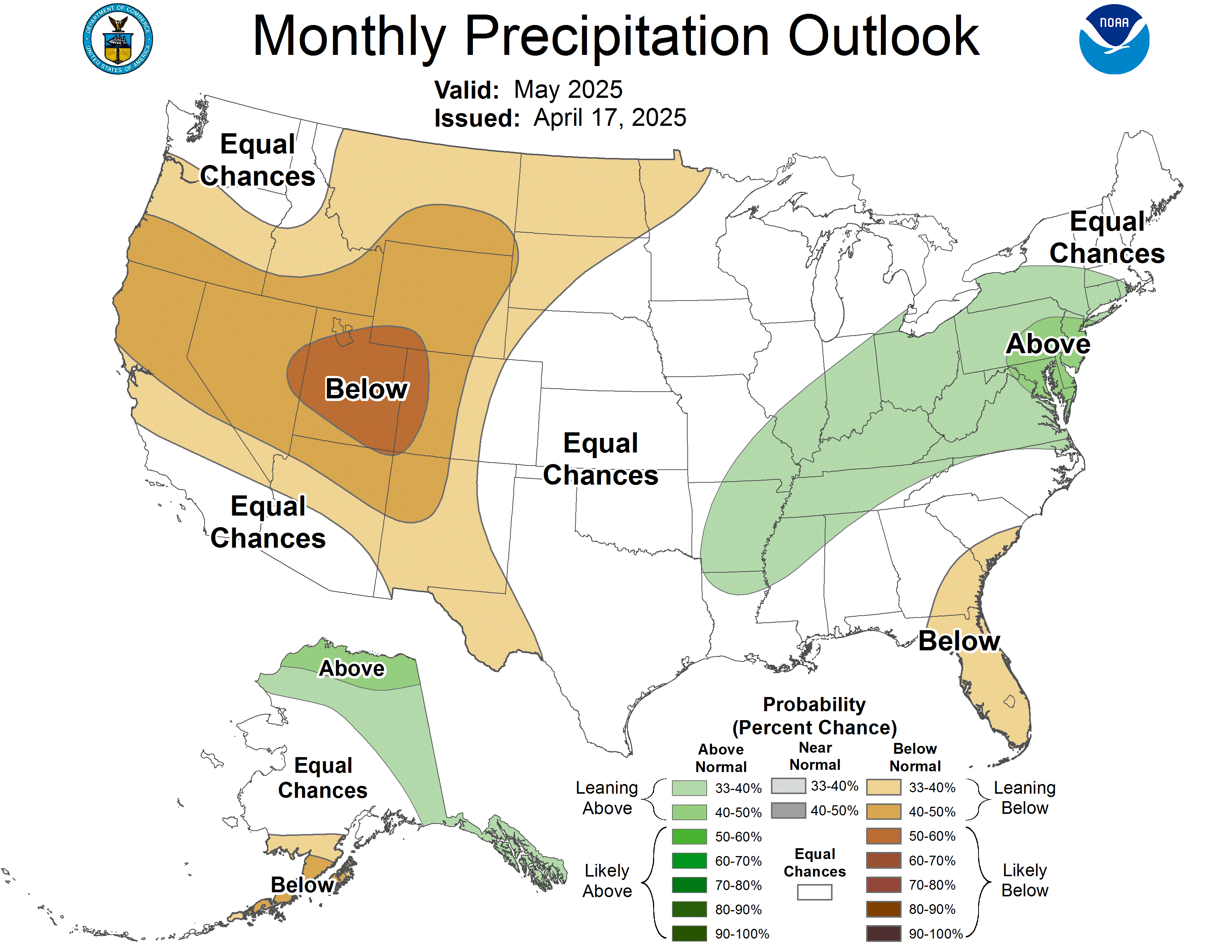
The three-month outlook for March through May (MAM) has a high probability of above normal temperatures across all of Washington State, with the odds between 60 and 70% on the three-tiered scale for a majority of the state. For spring precipitation, there are higher chances of below normal precipitation statewide. The chances of below normal precipitation are greater for eastern Washington (between 40 and 50%) compared to lesser odds for the rest of the state (between 33 and 40%).

Data round-up: drought conditions
This is a snapshot of wide variety of data sources that helps Ecology to understand evolving drought conditions. This will be updated weekly.
The Office of Washington State Climatologist's summarized data. Forecast can be found here as well:
- Temperatures – Mean February temperatures were above normal across most of Washington State, with the temperature anomalies in eastern WA greater than in western WA. A few locations in western WA had near-normal or even below normal February temperatures. Regardless, the month tied 1970 as the 19th warmest on record (+2.6°F above the 1991-2020 normal).
- Precipitation – February precipitation was generally below normal across the state, with a few exceptions (more in the Climate Summary on page 7). Averaged statewide, it was 20th driest February in the 130-year record, with 63% of normal precipitation.
- See the complete February 2024 Summary (PDF)
- Last updated: March 11, 2024 (updated monthly)
According to National Resources Conservation Science & U.S. Department of Agriculture, 72% Statewide (Up 1% from last week) Snow Water Equivalent (SWE); By Basin: WA Report or by maps: SWE by Basin – PDF (attached) or Interactive map
- 92% = Water YTD precipitation (Same as last week).
- Reminder for Basin numbers: The Lower Snake-Walla Walla, Lower Pend Oreille and Spokane SWE Basin numbers include stations in Oregon and Idaho.
- Why does “SWE” matter – USDA Factsheet
- Last updated: March 10 – now end of day; Next update (daily): March 12
Bureau of Reclamation data and information updates:
- Yakima River system (Keechelus, Kachess, Cle Elum, Bumping, Rimrock) is at 40% of capacity and storage is at 65.2% of average.
- Last updated: March 11, 2024; Next update: March 12 (daily).
- March 4 BOR forecast (next BOR forecast April 4): The U.S. Bureau of Reclamation (BOR) projected Monday that Yakima River basin irrigators with junior water rights will receive 72% of their full allotments between April and September. Allotments could drop to as little as 47% if the weather is dry and warm
Northwest River Forecast Center data and informaiton updates:
- 10 Day Meteorological Forests – Updated: After the next two days, none to de minimis precipitation and spring time (rather than late winter) temps, especially in areas where we need precip and colder temps like the Olympics.
- Forecast report and Forecast map – Runoff volumes since October 1 are mostly below normal. Water supply forecasts are a mix of normal to below normal.
- Streamflow Water Supply forecast (updated) – Ranking based on comparison to historical record – The attached screenshot highlights that areas in NW and parts of CRO & ERO are forecasted to rank among the lowest years measured.
- Lasted updated: March 10 for forecast report; March 11 for 10-day forecast; Next update (daily): March 12 and 13.
Related links
Contact information
Caroline Mellor
Statewide Drought Lead
caroline.mellor@ecy.wa.gov
360-628-4666